Soil Classify
a project for soil classify
Image-Based Geotechnical Classification and Nomenclature System Description
I. System Overview
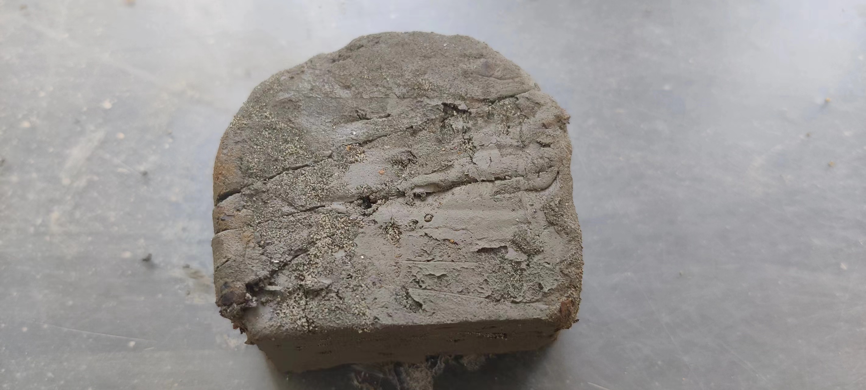
This system aims to achieve efficient and automatic classification and nomenclature of geotechnical sample images through advanced image recognition and machine learning technologies. It integrates multiple modules such as image preprocessing, feature extraction, model training, and prediction, enabling accurate identification and classification of various types of geotechnical materials (e.g., sandy soil, clay, gravel, rocks, etc.) with corresponding professional names or classification labels. Widely applied in geological exploration, geotechnical engineering, soil science research, and other fields, this system significantly enhances work efficiency and classification accuracy.
II. System Architecture
1. Image Acquisition Module
- Captures clear images of geotechnical samples using high-resolution cameras or scanners.
- Supports batch uploading and real-time photography for flexible user operation.
2. Image Preprocessing Module
- Performs preprocessing operations such as noise reduction, contrast enhancement, and color adjustment to improve image quality.
- Automatically crops and rotates images to ensure consistency in analysis areas.
3. Feature Extraction Module
- Utilizes deep learning algorithms (e.g., Convolutional Neural Networks, CNNs) to automatically extract key features from preprocessed images, including texture, color, and shape.
- Supports multiple feature fusion strategies to capture subtle differences in geotechnical samples.
4. Model Training Module
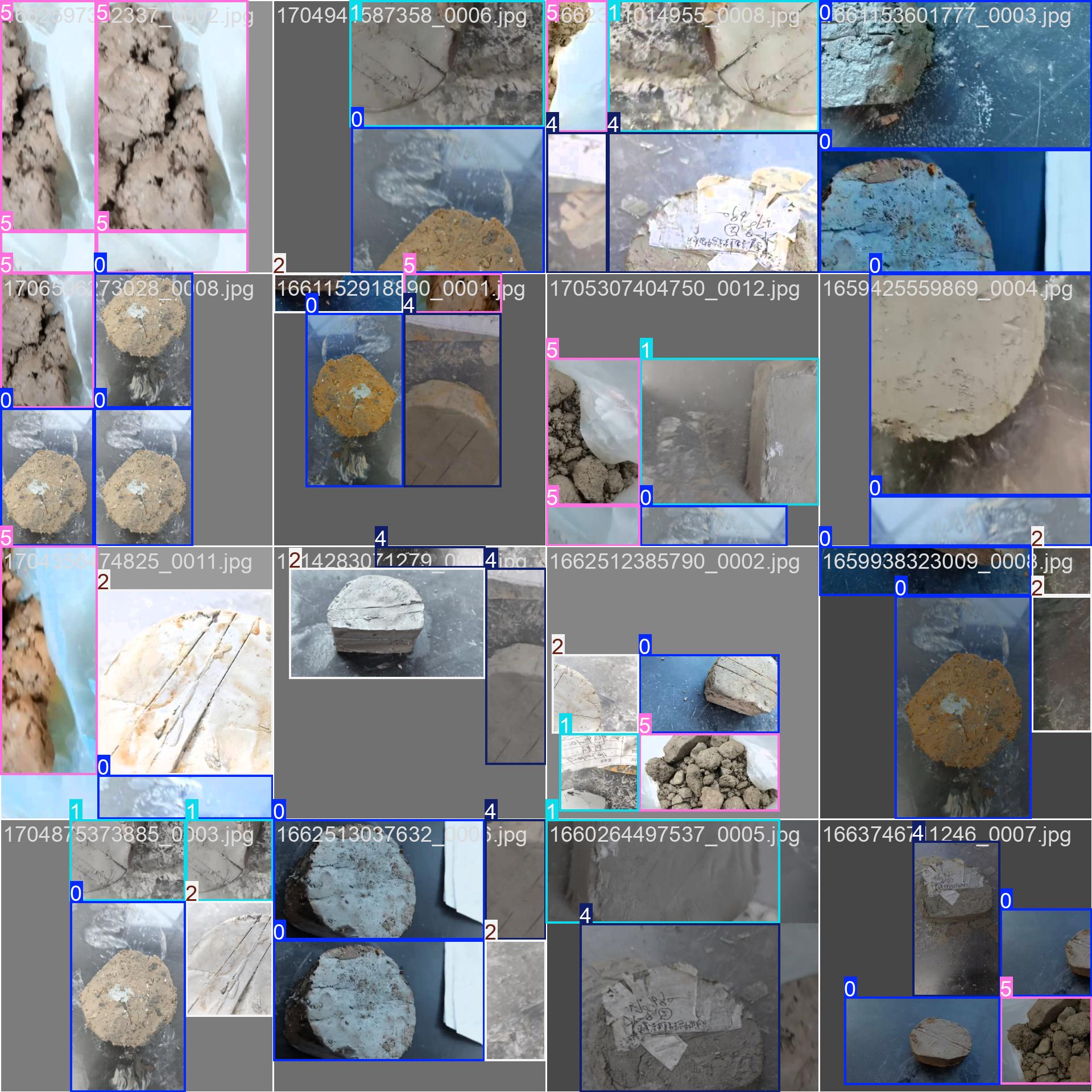
- Constructs supervised learning-based classification models trained on annotated geotechnical image datasets.
- Employs cross-validation, regularization, and other techniques to prevent overfitting and enhance model generalization.
- Supports iterative model optimization through continuous data addition or parameter adjustment to improve classification accuracy.
5. Prediction and Nomenclature Module
- Inputs geotechnical images for classification, and the model automatically extracts features and predicts categories.
- Outputs classification results, including the geotechnical category name and confidence score.
- Optional features: Provides detailed classification reports, including image feature analysis, similar sample comparisons, etc.
6. User Interface
- Designs an intuitive and user-friendly graphical user interface (GUI) supporting image uploading, classification result viewing, dataset management, and other operations.
- Offers help documentation and tutorials to guide users quickly.
III. System Advantages
- Efficiency: Automated processing significantly shortens geotechnical classification time.
- Accuracy: Deep learning-based classification models capture complex features, enhancing classification precision.
- Flexibility: Supports various image formats and sizes, easily integrating into existing workflows.
- Scalability: With increasing data and model optimization, system performance continually improves.
- User-Friendliness: Intuitive operation interface and comprehensive help documentation lower the learning curve.
IV. Application Scenarios
- Rapid identification of stratigraphic lithology in geological exploration.
- Assessment of foundation stability in geotechnical engineering design.
- Classification of different soil types in soil science research.
- Analysis of soil pollution in environmental monitoring.
V. Conclusion
The image-based geotechnical classification and nomenclature system serves as a vital tool in modern geology and geotechnical engineering. It achieves automation and precision in geotechnical classification through intelligent means. With continuous technological advancements and expanded application scenarios, this system will provide even stronger support for research and practice in related fields.
Geotechnical Classification and Identification Test Results
1. Description of Test Methodology
Based on the sample collection, the identification tests primarily focused on four types of geotechnical samples: silty clay, muddy silty clay, clay, and round gravel (breccia).
2. Test Method
2.1 Sample Division
All the aforementioned samples were divided into two non-overlapping parts:
- Training Samples: 5620 samples (80.1% of the total) were selected for model training.
- Test Samples: 1394 samples (19.9% of the total) were used as the model test samples.
2.2 Automatic Identification Research
The automatic identification research was conducted on six attributes: name, color, strength, content, compactness, and state.
3. Test Results
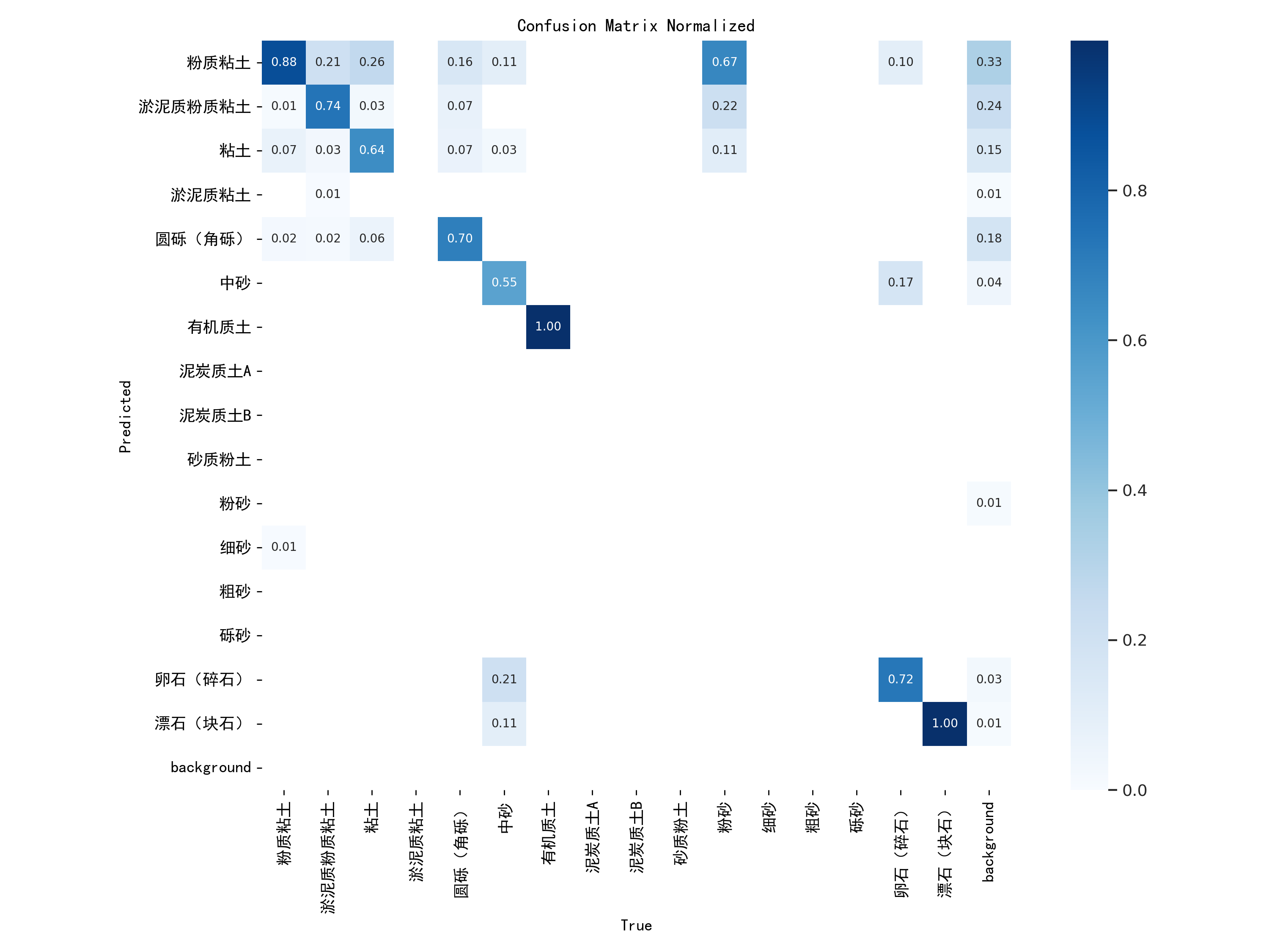
Classification and identification based on the “name” attribute yielded the following recognition rates:
- Silty Clay: 88% recognition rate
- Muddy Silty Clay: 74% recognition rate
- Clay: 64% recognition rate
- Round Gravel (Breccia): 70% recognition rate


